
Message from Mekuria Argaw (Ph.D.), Director, HoARC&N-AAU
July 28, 2020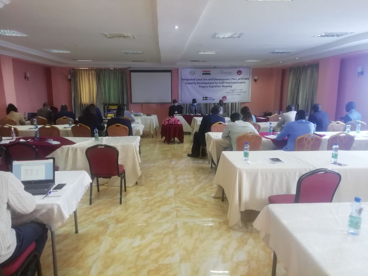
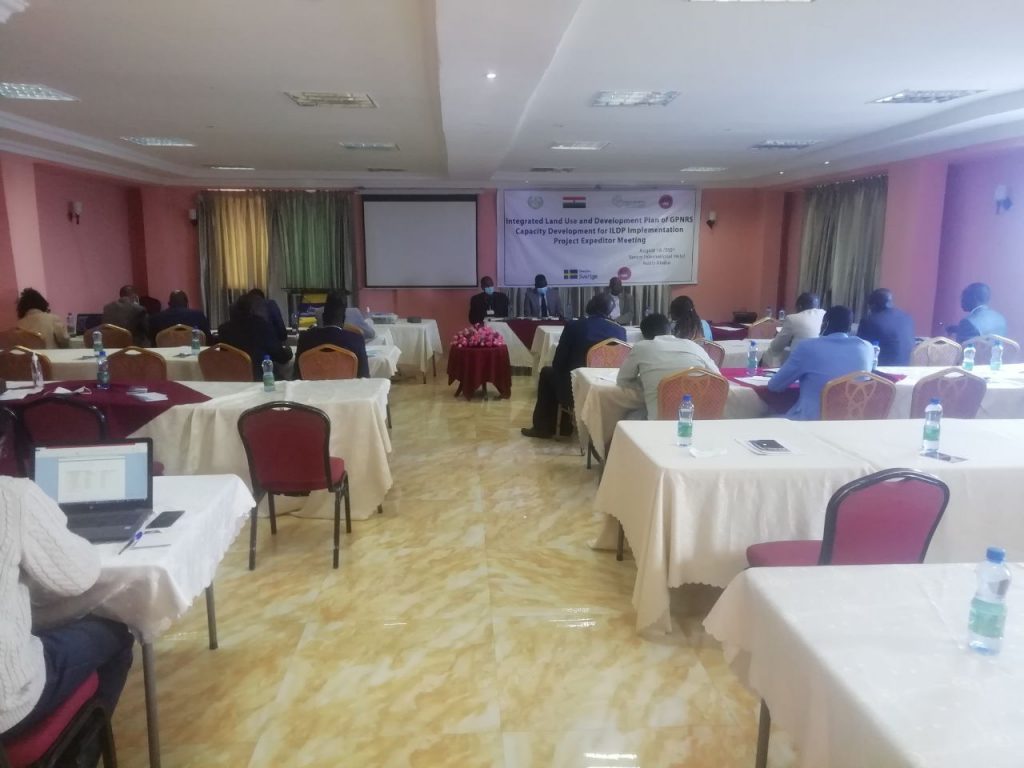
Project expeditor meeting conducted on the establishment of an independent ILDP institution in GPNRS.
August 18, 2021The Integrated Rural land-use and development plan
Gambella Peoples’ National Regional State (GPNRS) is located in the southwestern part of Ethiopia, at a distance of 777 km from Addis Ababa. Administratively speaking, the region has three zones and one Special Woreda. There are 226 Kebeles. Five of the kebeles are that of Gambella City. According to the regional government’s policy documents, GPNRS is one of the emerging regions of the country and a home for the five indigenous ethnic groups, the Nuer, Anywa, Majang, Oppo, and Komo. In addition, following the resettlement program of the 1980s E.C., a good number of people from different parts of the country moved to the region. Recently, the refugees from South Sudan (estimated 350,000) are becoming the most dominant, imposing a threat to the environment, socioeconomic and cultural values.
According to CSA (2013) projection, the region had a total population of 409,002 in 2015. With an estimated area of 34,063 km2, the region had a population density of 12 / km2. However, the distribution of the population among the Zones varies considerably and the Majang zone has the highest while the Anywa Zone the least populated. The estimations also showed that 32.27% of the people in the region live in urban areas while 67.72% live in rural areas. The Gender study has noted that land is the most fundamental resource to women’s living conditions, social and economic empowerment and their struggle for equality in the region. However, due to socio-cultural reasons, women’s rights to access, control, and benefit from land are less than those of men. The study has considered gender disparities, constraints, and opportunities that have an impact on sustainable development.
The economy of the GPNRS is totally dominated by mixed farming. In other words, a large majority of the regional population, about 85.5%, derive their livelihood from agriculture.
According to the regional strategic plan of 1998-2002 E.C., GPNRS is endowed with natural resources such as perennial rivers, lakes, and massive fertile arable lands with a favorable climate for cash crops. It is also characterized by rich jungle forests, wildlife, and fish resources.
GPNRS also has a great deal of livestock holding. The ILDP study showed that Jor, Godere, and Abobo Woredas have the highest livestock holdings. Similarly, the beehive ownership in the Region is significant although it shows variation among the sampled households considerably. For example, the Majang Zone shares about 54% of the beehives owned among the sampled households indicating that it is the main livelihood activity in the Majang zone.
The climate of the GPNRS is formed under the influence of the tropical monsoon from the Indian Ocean. The region is characterized by high rainfall in the wet period from May to October and has little rainfall during the dry period from November to April. As the region occurs in the lower Baro-Akobo basin, it is endowed with rich water resources. A number of major rivers flow across the region and to neighboring countries. For example, Baro is a transboundary navigable river which flows to South Sudan. Detailed hydrological and sanitation studies have been carried out to facilitate and guide the characteristics and allocation of the various land-use types.
The GPNRS has six different agro-climatic zones among which, the Moist Hot-lowland and wet lowland cover relatively larger areas of the regional state compared to others. On the other hand, wet hot highland has exhibited a fragmented pattern of distribution and covers smaller areas in the Region. The study on forest cover dynamics of the Region revealed that forest degradation in Anywa and Majang Zones has been increasing since 2001 and continued until 2010. Three broad categories as the closed forest, open forest and protection forestry were proposed as a means to abate the degradation while providing economic returns from the forestry sector.
The rangeland and livestock population study indicated the highest population of livestock in the Nuer Zone and the least in Itang Special Woreda. A general declining trend of livestock population across the region has been observed over the last ten years from 2010 to 2015. Exceptions are the Majang Zone and the Itang Special Woreda. The ILDP has also investigated aquaculture and fisheries development in the Region. The hydrological network of rivers, lakes, and wetlands provide the GPNRS unique opportunities for the development of aquaculture and fisheries.
The rural infrastructure study of ILDP considered road, transport, education and health sectors. According to the study, a significant increase in road and transport infrastructure was envisaged from 2020 to 2040. The infrastructure includes roads, docking ports, airports, and bridges. According to the education sector infrastructure, for instance, the Gambella Regional State will have a significant increase in schools of different levels at the end of the planning period, 2040. Similarly, there will be a significant increase in the number of health facilities at the end of the planning period. Details are given in their section-reports of this plan document.
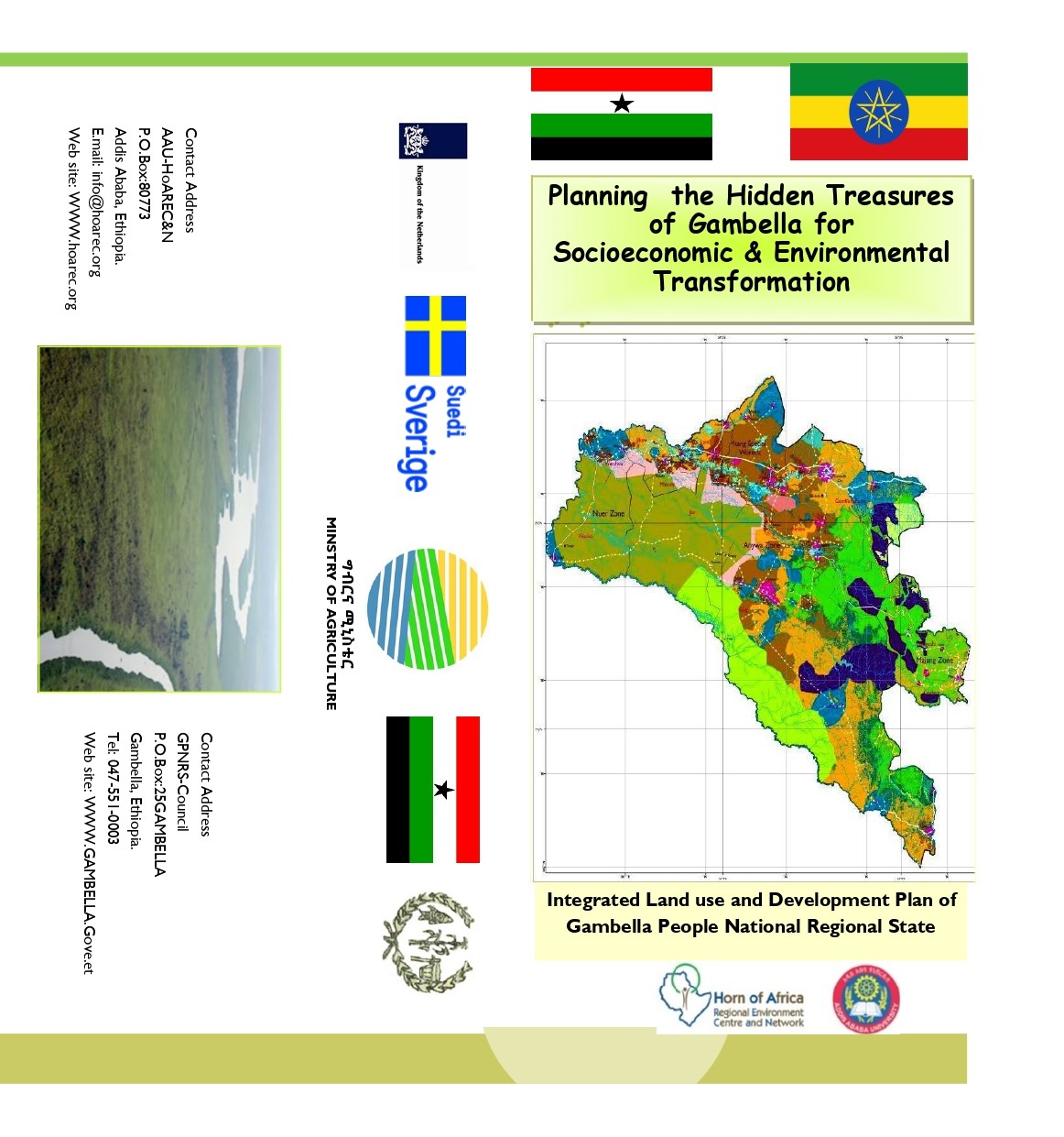
In this report, the integrated urban plans of 7 towns/cities of the GPNRS are included. Their whereabouts are shown in Figure 1. Plan details of each town are given in the separate reports. The area coverage of each of the major land uses is given in Table 1. In general, about 33 beneficiary institutions are identified for involvement in the implementation phase.
The largest land area is allocated for wildlife habitat. Many of the big game wildlife are pushed to the south edge-corner of Ethiopia. It may be true to say that the wildlife of Ethiopia is now, for the most part, in GPNRS. There are various kinds of wildlife habitats. The cumulative land planned for this land use is ~41.87 percent of the region. The second-largest land area is the agricultural land that occupies ~26.6% of the total land. The third-largest land use is planned for forestry at ~19.9%. The land allocated for biodiversity and ecological conservation covers 2758 km2 or 9.12% of the region that makes it the 4th largest land area. The least is the land area allocated for aquaculture development and marketing. It covers 2.47% of the region or 747Km2. The ILDP of GPNRS is a comprehensive plan. They include singly or jointly other land uses such as infrastructure plan as well as beekeeping and honey production. The details are given under their own sections of the report.
For enforcing implementation of the land use plan and arbitrating defaulters, an institution that is autonomous and structured down to the Woreda level is proposed. It is also hoped that the GPNRS will issue a regional land use policy for implementations of this integrated land use plan by establishing such an independent Land Use bureau to play surveillance, plan-updating, and regulatory functions during the implementation period.